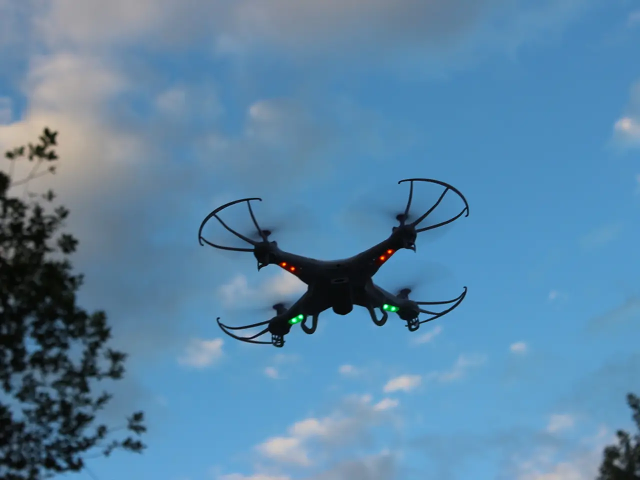
Drone Altitude Precision: A Closer Look
In the world of drones, precision is key, especially when it comes to altitude measurements. This critical flight parameter is crucial for various applications, from aerial mapping to navigation in urban areas.
Typically, drones rely on LiDAR (Light Detection and Ranging) technology for altitude measurement. This system works by emitting laser pulses downwards and measuring the roundtrip time it takes for the pulse to reflect back from the ground. The time is then used to calculate the distance, or altitude.
Drone altimeters based on LiDAR technology can achieve vertical accuracy within a range of ±2.5 cm to ±5 cm under optimal conditions. For instance, a low-cost quadcopter laser sensor provides altitude information with a precision of ±2.5 cm at a high sampling rate of 500 Hz. Industry-grade drone LiDAR systems report vertical accuracy around 5 cm at about 70 meters altitude, supporting detailed 3D point cloud mapping with centimeter-level precision.
These systems also leverage GNSS (Global Navigation Satellite System, including GPS, GLONASS, BeiDou) for precise positioning combined with LiDAR to georeference altitude data. The laser wavelength used is typically around 905 nm, and the laser return rates can range from hundreds of thousands to millions of points per second, depending on the sensor specifications.
However, the accuracy of these systems can be influenced by factors such as atmospheric conditions, surface reflectivity, and sensor quality.
It's essential to calibrate the IMU (Inertial Measurement Unit) of drones before the first flight, after a firmware update, and after a nasty crash. Periodic calibration is recommended for all drone users to ensure accurate altitude readings. Signs of uncalibrated sensors include being unable to hold a stable hover or the altitude reading not returning to zero when the drone lands at the same take-off spot.
In areas of controlled airspace, drone flight is typically restricted to altitudes below 400 feet AGL to avoid interference with manned aircraft operations. For mapping applications, higher accuracy is required, and this can be achieved with established data correction protocols, often resulting in centimeter-level locational accuracy.
In urban areas, where Minimum Obstacle Clearance Altitude (MOCA) may need to be exceeded, the reliability of the altimeter is paramount. For casual use, performing basic IMU calibration should be enough to ensure acceptable altitude readings.
In addition, Ground Control Points (GCPs) are pre-established and pre-marked points in the survey area that act as "anchors" for the map, helping to offset altitude inaccuracies for mapping applications up to 10 feet. Ground control point adjustment is a technique that is applied post-flight and requires data processing via a GIS platform such as ArcGIS or GlobalMapper.
In conclusion, LiDAR technology plays a significant role in providing precise altitude measurements for drones, making them highly reliable for applications like mapping and navigation. Regular IMU calibration and the use of Ground Control Points can further enhance the accuracy of these measurements, ensuring safe and efficient drone operations.
References:
[1] LiDAR Magazine. (n.d.). How does LiDAR work? Retrieved from https://www.lidarmagazine.com/articles/2016/07/how-does-lidar-work/
[2] Sick. (n.d.). LiDAR for UAVs. Retrieved from https://www.sick.com/en-us/products/lidar/lidar-for-uavs
[3] Parrot. (n.d.). Parrot Bebop 2 Power. Retrieved from https://www.parrot.com/uk/products/bebop-2-power
[4] RPLIDAR A1. (n.d.). RPLIDAR A1. Retrieved from https://www.slamtec.com/products/rplidar-a1
- The drone altimeters, which primarily use LiDAR technology, can provide vertical accuracy within a range of ±2.5 cm to ±5 cm under optimal conditions.
- To further enhance the accuracy of altitude measurements in drones, Ground Control Points (GCPs) can be used, acting as "anchors" for the map and helping to offset altitude inaccuracies for mapping applications.


